
-
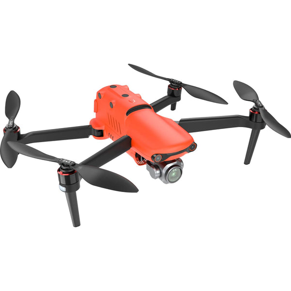
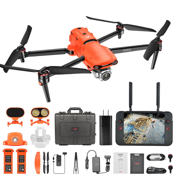
 The EVO II Pro RTK provides a proven, accurate, durable, and user-friendly, FAA Remote ID Compliant Unmanned Aircraft System (UAS) for numerous applications, including the creation of surfaces, point clouds, and orthoimages with Carlson PhotoCapture, as well as feature extraction and CAD plans with Carlson Point Cloud. This package includes PhotoCapture Standalone for Desktop and Carlson Point Cloud to take your aerial data to finished deliverables, the EVO II Pro offers up to 36 minutes of flight time, high accuracy positioning with its detachable RTK module, a 20MP camera with 1″ sensor, and built-in mission planning for simple setup in the field.
 -

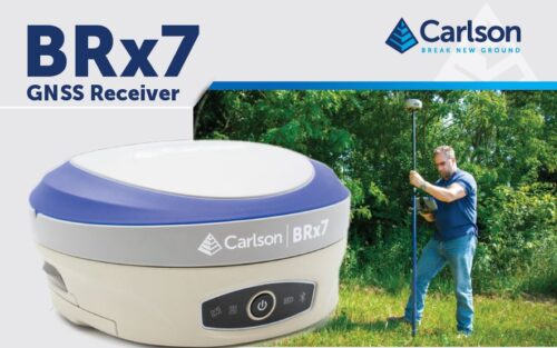
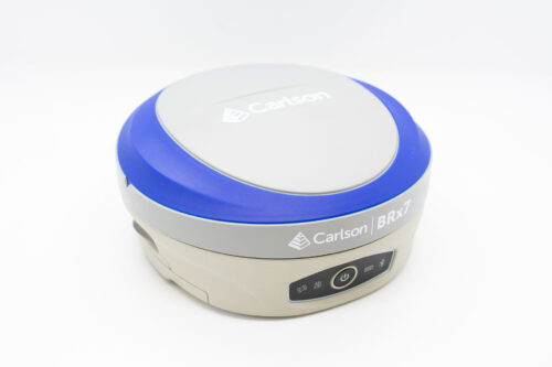
 The BRx7 is Carlson’s all-new multi-GNSS, multifrequency smart antenna. The BRx7 provides robust performance and high precision in a compact, rugged package with tilt compensation ability. With multiple wireless communication ports and an open GNSS interface, the BRx7 can be used in a variety of operating modes.
 -
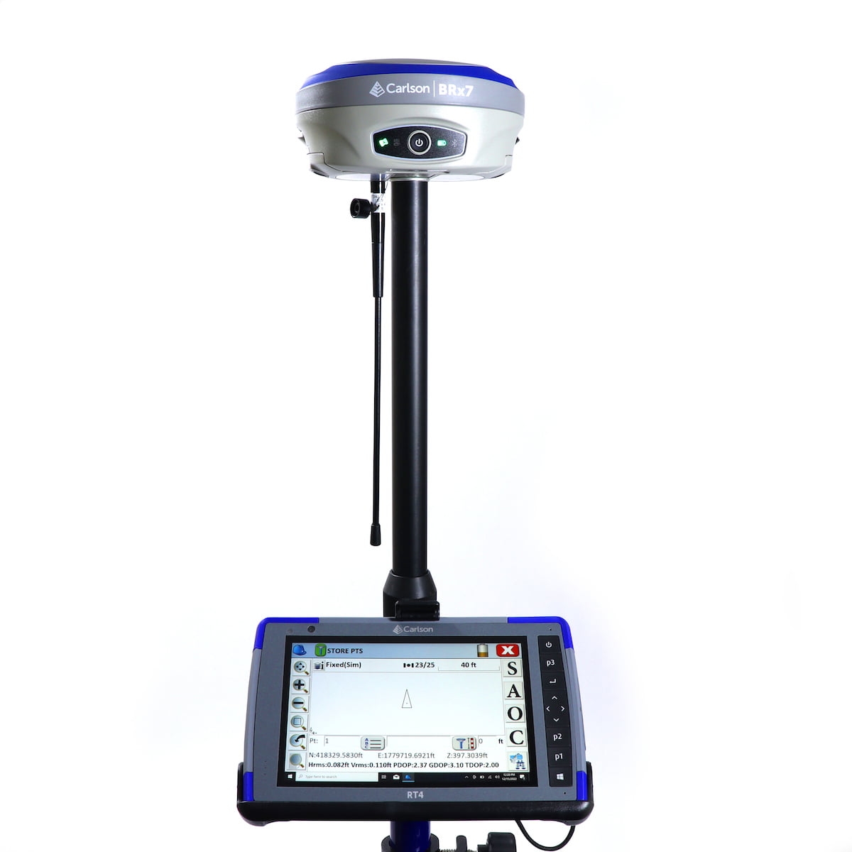
 This Carlson BRx7 Rover Package includes the Carlson BRx7 GNSS Receiver, the Carlson RT4 Tablet Data Collector, SurvPC GPS software, a survey pole, and an attachment for the tablet to the pole.
- The BRx7 rover is Carlson’s all-new multi-GNSS, multifrequency smart antenna. The BRx7 provides robust performance and high precision in a compact, rugged package with tilt compensation ability. With multiple wireless communication ports and an open GNSS interface, the BRx7 can be used in a variety of operating modes.
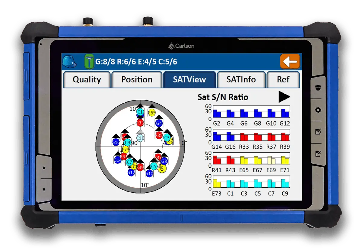
- The Carlson RT4 Tablet is designed for surveying, stake out, construction layout and GIS mapping and is bundled with Carlson SurvPC GPS with the option of running with the Esri® OEM program for use in the field. Or use in the office with any Carlson office software. Along with the 8GB of RAM and 128GB of storage, you can collect and analyze your data quicker than ever before.
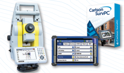
- SurvPC supports the widest range of popular and new release RTK GPS and conventional/robotic total stations. Carlson SurvCE and SurvPC are complete data collections systems for Real Time Kinematic (RTK) GNSS and Total Stations with in-field coordinate geometry. SurvPC can be utilized on standard Windows PC computers such as ruggedized laptops.
-

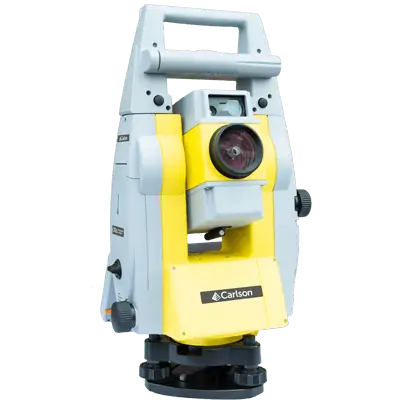
 End of year special: CRx 2" with RT5 Tablet plus SurvPC Total Station & RTS The Carlson CRx series of Robotic Total Stations provides a choice of 1″, 2″ and 5″ angular resolutions to match the application requirements. This offer is for the 2". This model is the CRx-5 for a seamless user experience. The instruments are combined with SurvCE or SurvPC on a field computer to access the full range of Carlson survey features for efficiency and automation in a familiar environment. In addition, users have the option for installing SurvCE Basic on board for operation with the instrument only. Customers benefit from technical guidance and support for both the robotic total station and SurvCE or SurvPC from one company. CRx Robotic Total Stations are used with SurvCE or SurvPC in a wide range of applications requiring precise angle and distance measurements such as surveying, engineering and construction.
 -
End of year special: CRx 5" plus RT5 Tablet w/ SurvPC Total Station & RTS The Carlson CRx series of Robotic Total Stations provides a choice of 1″, 2″ and 5″ angular resolutions to match the application requirements. This offer is for the 5". This model is the CRx-5 for a seamless user experience. The instruments are combined with SurvCE or SurvPC on a field computer to access the full range of Carlson survey features for efficiency and automation in a familiar environment. In addition, users have the option for installing SurvCE Basic on board for operation with the instrument only. Customers benefit from technical guidance and support for both the robotic total station and SurvCE or SurvPC from one company. CRx Robotic Total Stations are used with SurvCE or SurvPC in a wide range of applications requiring precise angle and distance measurements such as surveying, engineering and construction.
-

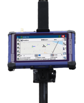
 Introducing the Carlson RTk5: Empowering Precision and Flexibility in GNSS Technology Experience unparalleled freedom and precision with the Carlson RTk5, a cutting-edge GNSS solution seamlessly integrated into the RT5. Packed into a compact, lightweight, and versatile package, this advanced device revolutionizes your surveying, engineering, GIS, and GNSS positioning needs. The Carlson RTk5 comes equipped with a range of essential features and accessories designed to enhance your productivity. Its custom-built pole and cradle provide stability and convenience, ensuring seamless operation in any environment. With the inclusion of a survey-grade antenna, you can achieve superior accuracy for your land surveying projects. For on-the-go applications, we have included a small, portable helix antenna specifically tailored for handheld GNSS use. This empowers field professionals with the flexibility to capture precise positioning data on the move. GNSS CAPABILITIES • Advanced multi-frequency, multi-constellation (GPS + GLONASS + Galileo + BeiDou + QZSS) RTK GNSS performance • Balanced & ergonomic; 25+% lighter than typical GNSS setups – 6 lbs (2.7 kg) with tablet, cradle, pole, and antenna • Gather live, centimeter-level positions directly into an Esri database with zero post processing • Operate handheld without a pole for fast GIS work
Who We Are
Allenbuild Instruments LLC
Address: Turning Point Drive, Wake Forest, NC 27587, USA
Tel: +1 (919) 761-5140
Email: Click here to email us
Quick Links
© Copyright 2024 | Allenbuild Instruments | All Rights Reserved | Designed by Sally Compton